.png)


Northern Territory 2011
Australia's Northern Territory, also known as the Top End, is a uniquely diverse part of the world.
My time in the Red Centre was spent entirely in the southern part of the territory.
It began in Alice Springs, where after landing at the airport, I felt like I literally was…in the middle of nowhere.
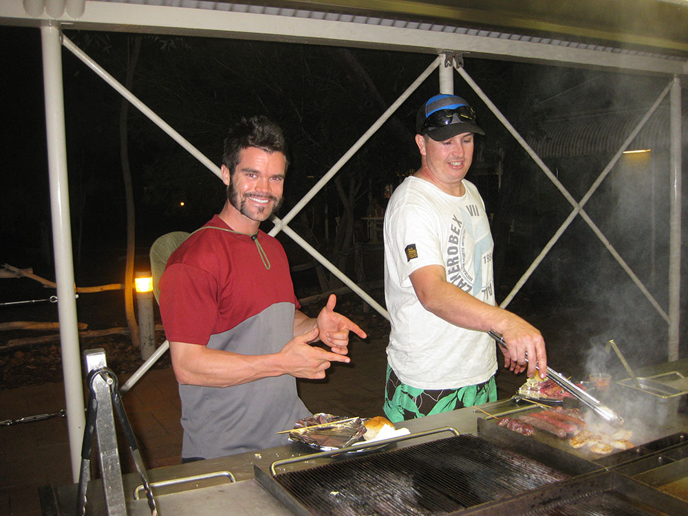
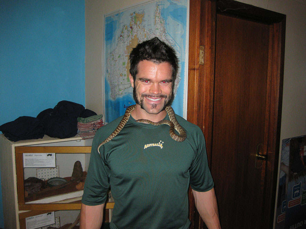
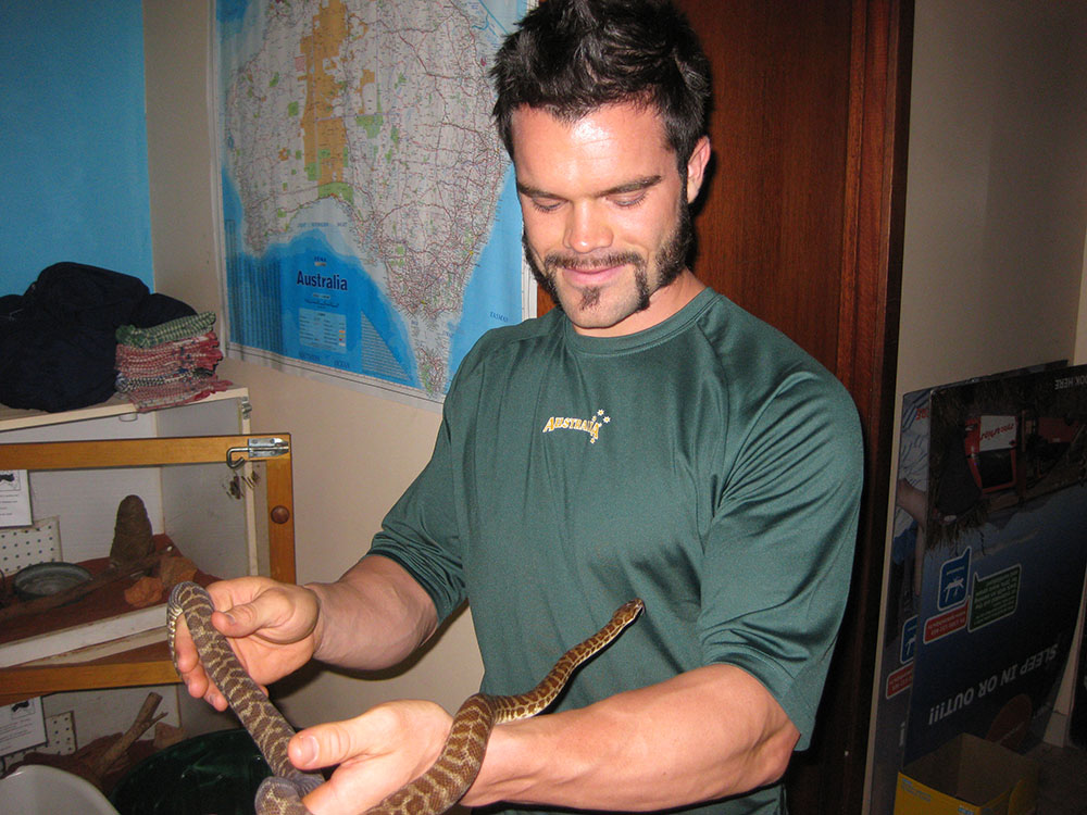
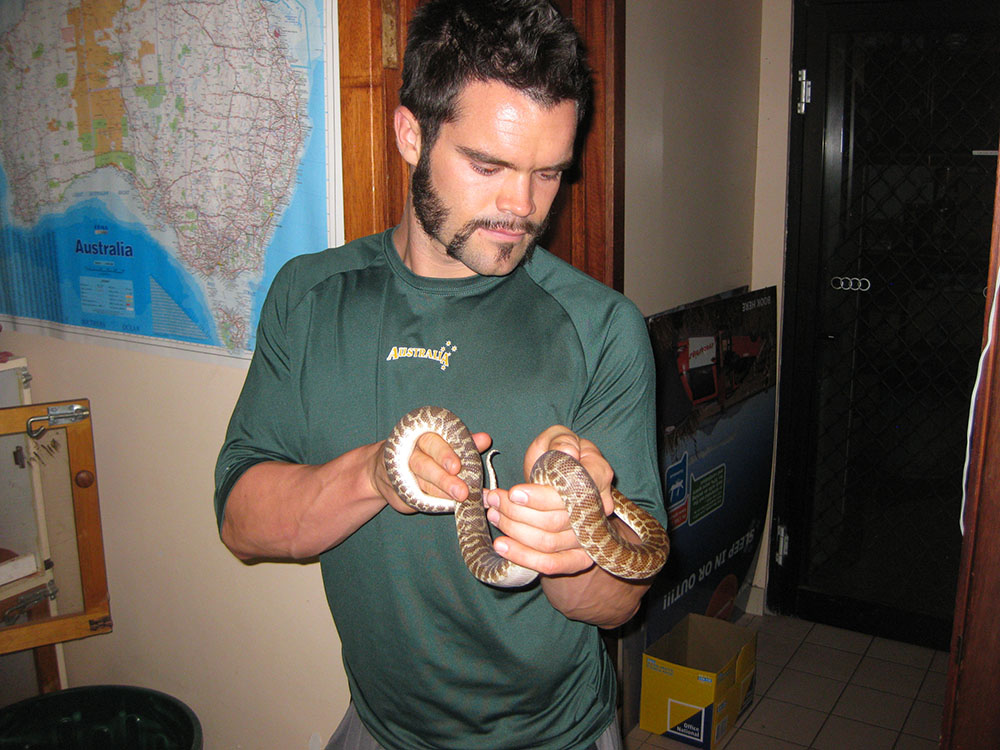
On my first night in 'Alice', I had the pleasure of taking in an Aussie Rules Football carnival at Traeger Park, which made for an authentic experience straight away. After a playful evening with a snake at the local hostel, I was ready to embark on my next journey.
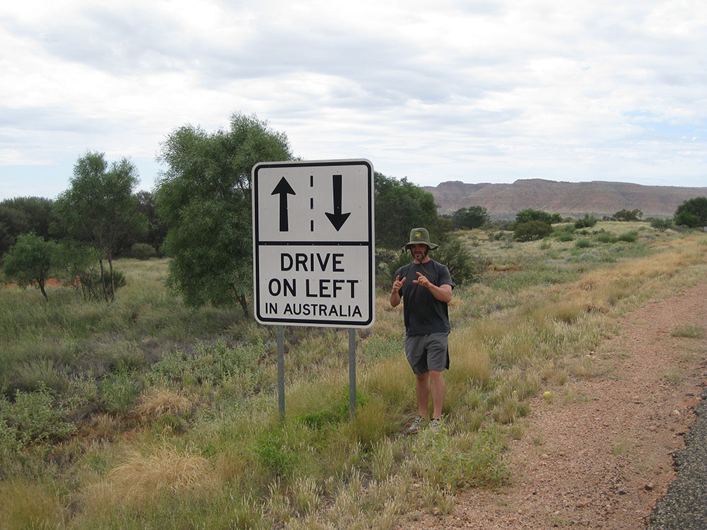
Instead of taking the Stuart Highway - better known as 'the track', which connects Adelaide to Darwin, linking Australia's top end to the Great Australian Bight - I elected for the more scenic, cultural route.
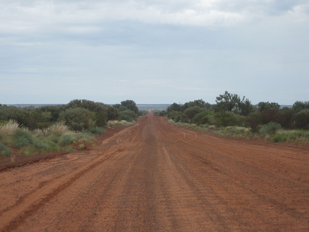
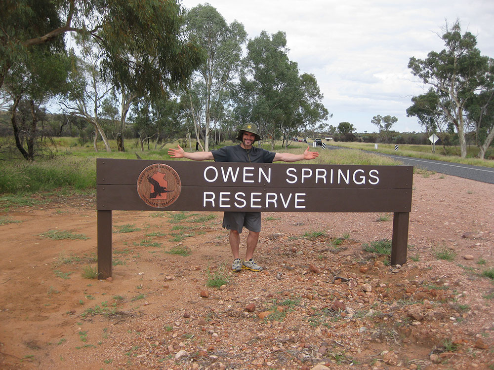
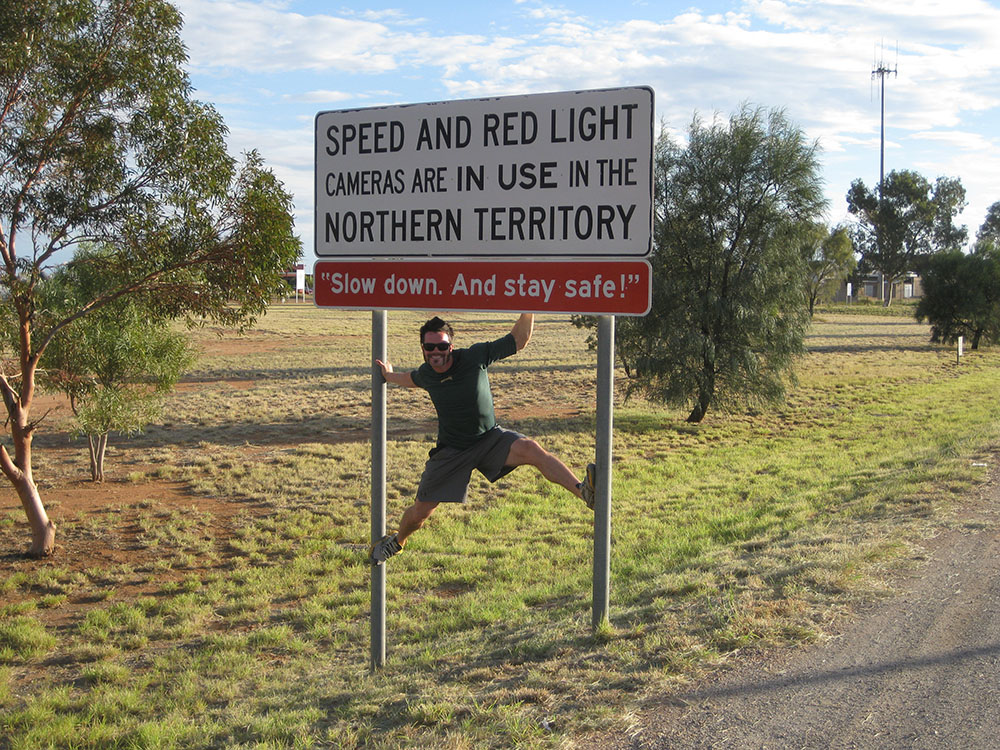
My first stop out of Alice Springs was at Owen Springs Reserve, but the true outback adventure began when I hit the Mereenie Loop Road. This 93-kilometre (58-mile) unsealed, red dirt road cuts right through the guts of the Northern Territory and took me through Aboriginal country, so I had to obtain $2.20 permit. Bounding over the hills and leaving clouds of red dust in my tracks was quite the thrill.
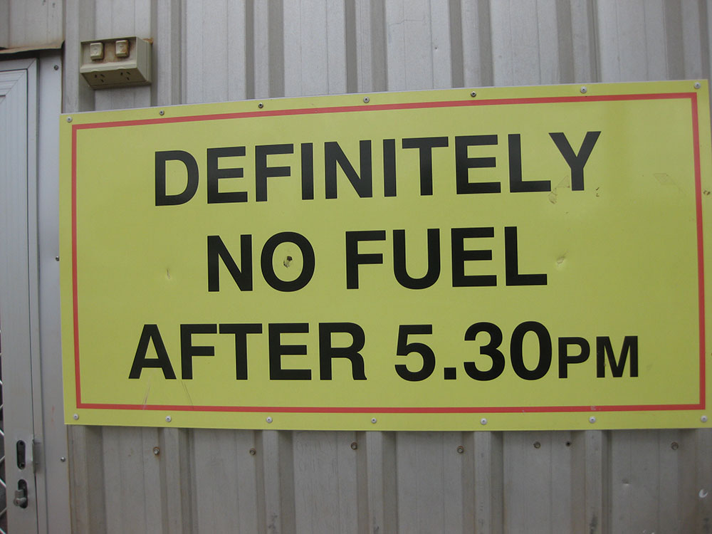
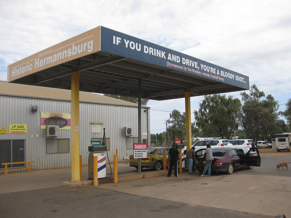
With one place to get fuel and a very strict closing time, travellers weren't left with many options. My approach into Yulara was from the east, so the setting sun scattered vibrant oranges, blues and purples across the Territory's sky. It was magnificent.
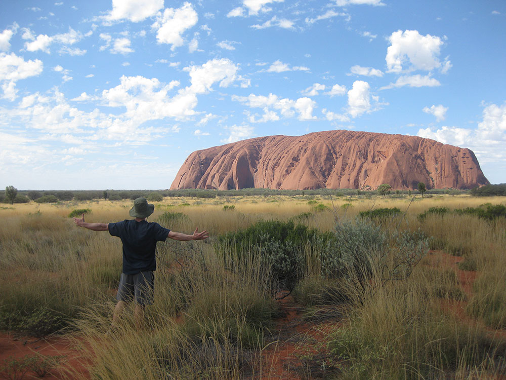
The real reason I delved into Outback Australia was to explore Ayers Rock, or as the Anangu people call it, Uluru. 'The Rock' is a 348-metre (1,142-foot) sandstone formation that pops up out of the Northern Territory soil like an annoying zit. It is 9.4 kilometres (5.8 miles) in circumference and has absolutely zero symmetry. It does not look the same in any two places.
The thing to do at Uluru is catch a sunrise and a sunset, which I made sure to do both of…multiple times. The red rock already possesses such a distinct tint, but with the morning sun's rays, brown turns to red and then to a bright orange, all within minutes. It's quite the sight. Sunsets are similar in the drastic colour changes the rock goes through.
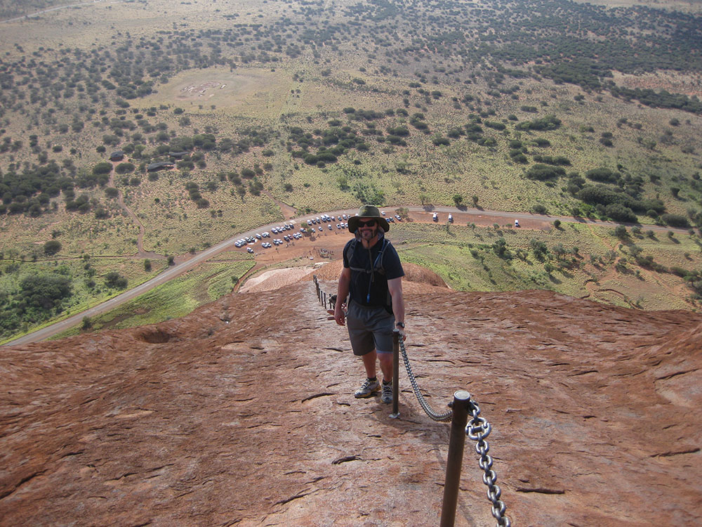
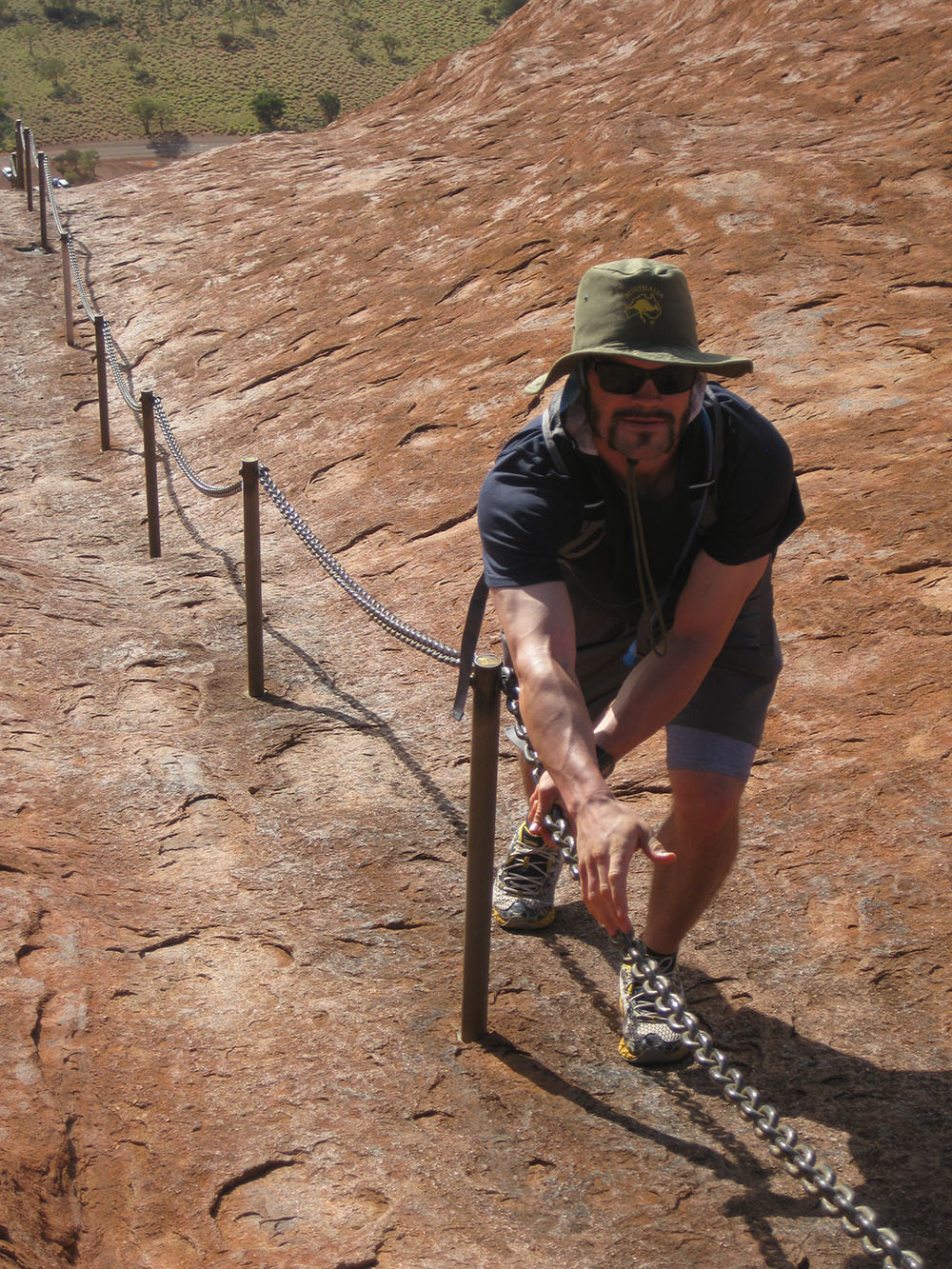
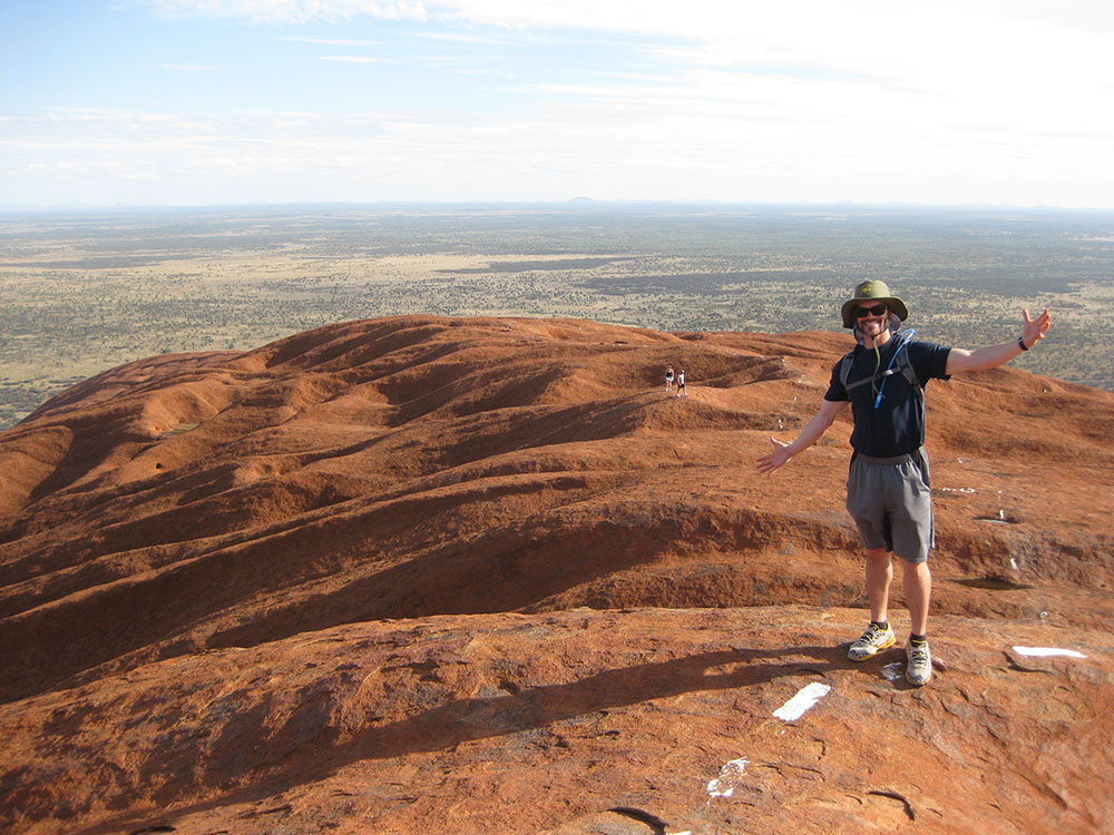
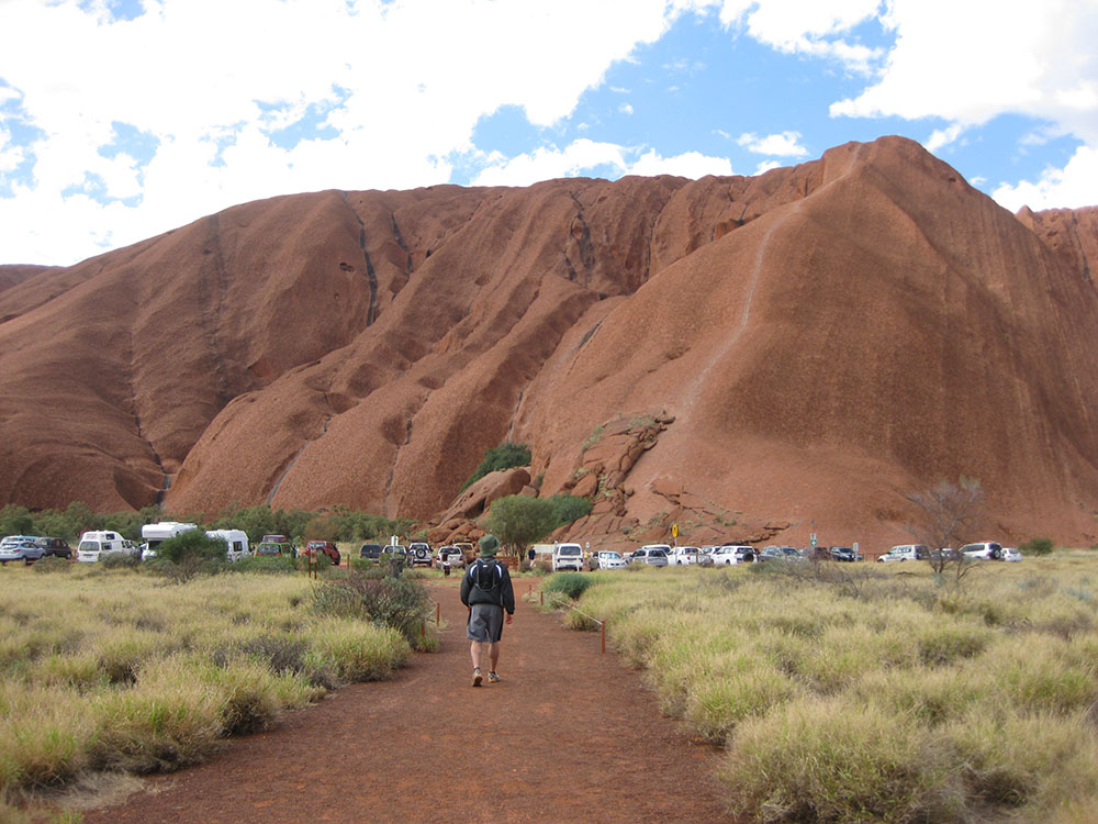
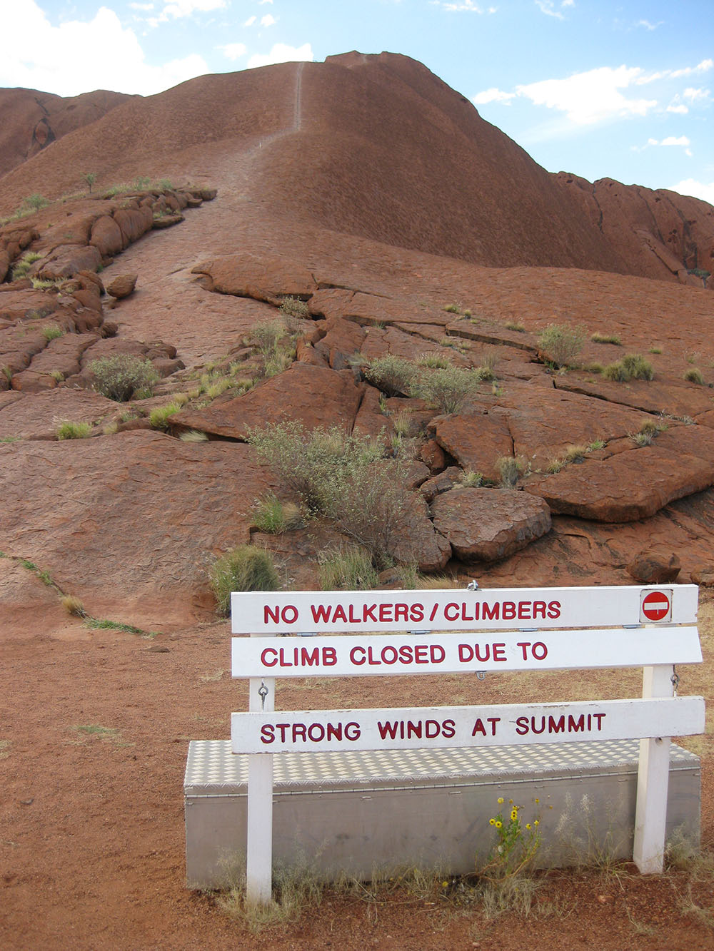
Although frowned upon by the Anangu people, climbing the rock, which was done by the land's early settlers as a spiritual retreat, is extremely gratifying. Often closed due to the summit's high winds, and frequent wind shifts, the 800-metre (.5 mile) hike from base to summit is extremely steep. So steep, in fact, that a 75-metre (250-foot) chain handhold is anchored into the sandstone along the steepest portion of the climb. More than three dozen people have died attempting to climb Uluru. Thankfully, all I witnessed were a few water bottles plummeting to their death during my ascent.
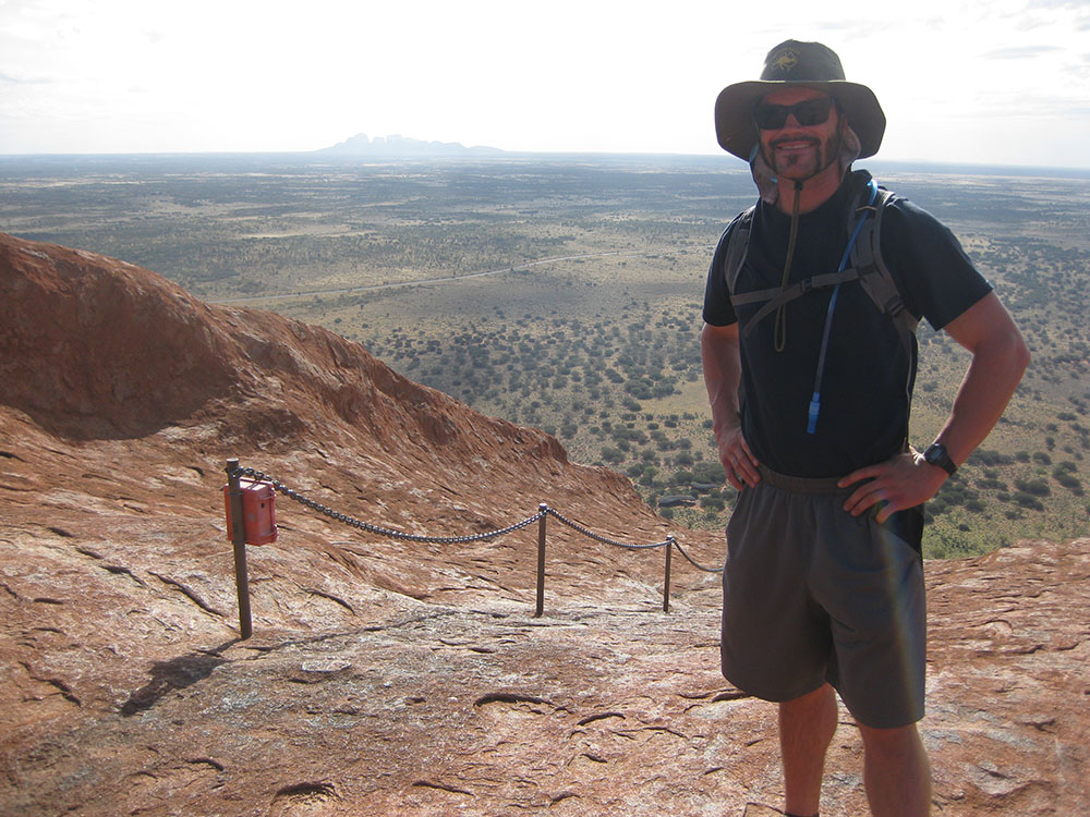
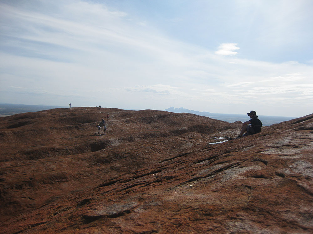
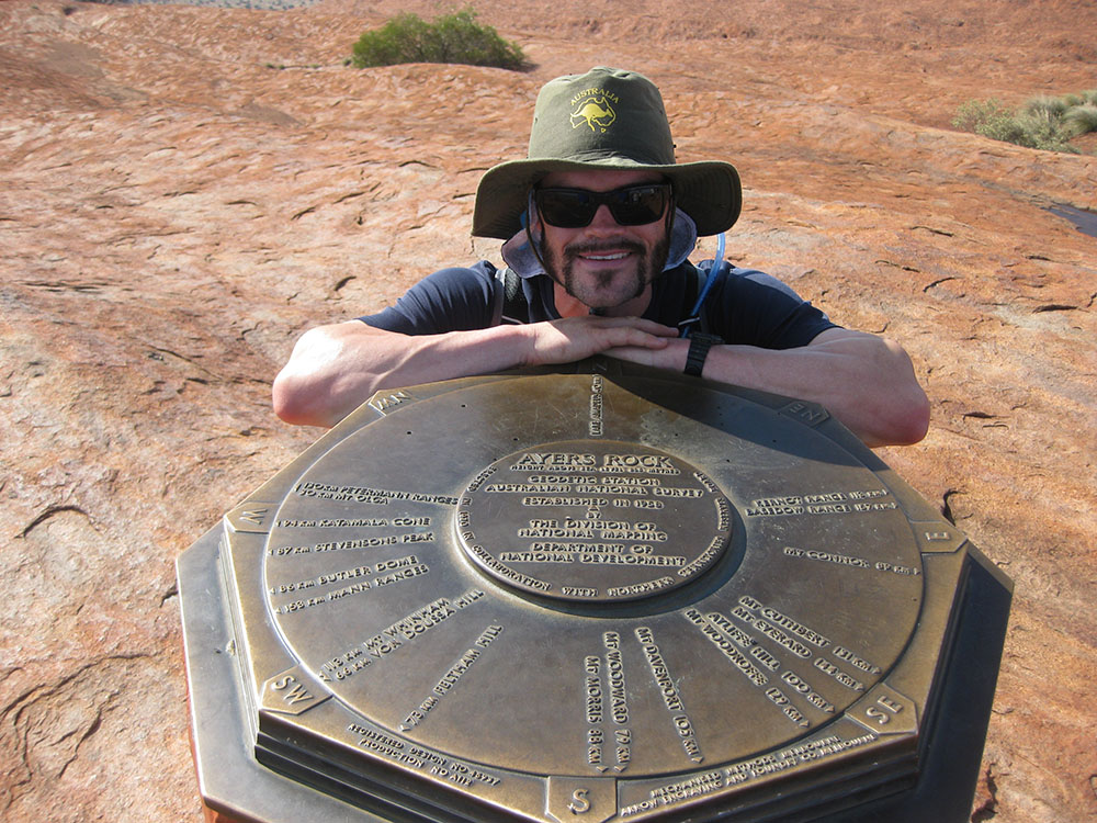
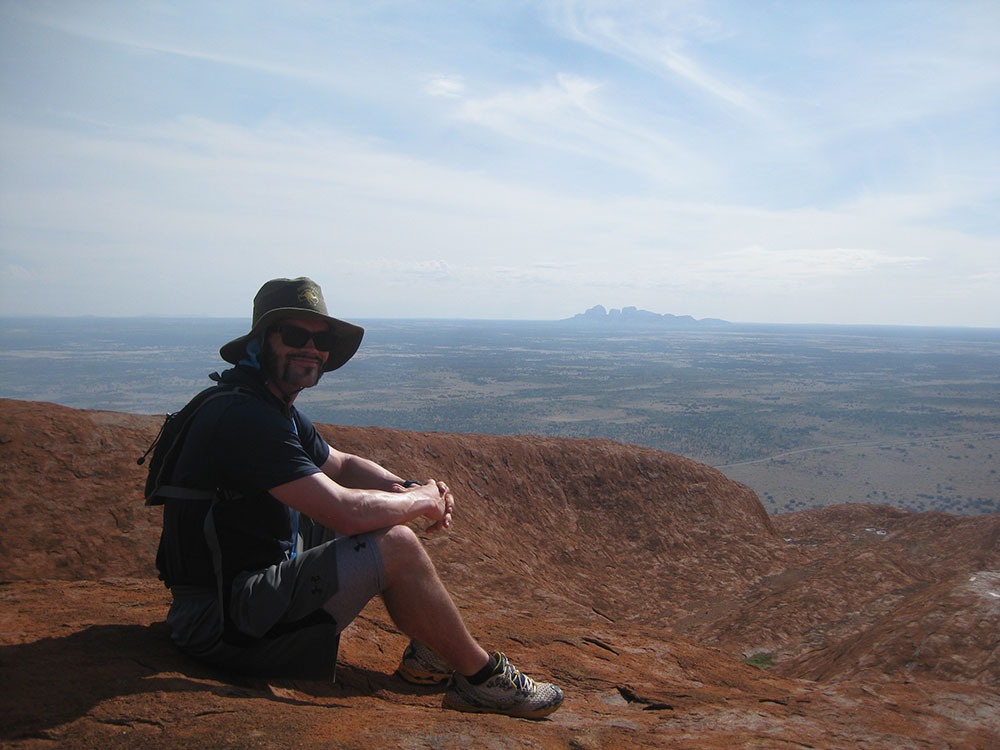
Once atop Uluru, the panorama is breathtaking. I suppose there is some appeal in being surrounded by, well, nothing. Aside from Kata-Tjuta National Park, better known as The Olgas, being in plain sight, literally nothing pops above the horizon. A bronze plaque atop an old metal barrel marks the true summit of Uluru, and features cardinal directions and distances to the nearest forms of civilisation. After taking in the 360-degree views from atop The Rock, I descended.
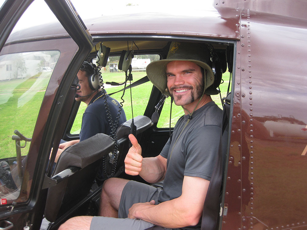
A couple days later, I used a more modern mode of transportation to explore Kings Canyon, which is located in the Watarrka National Park. A helicopter flight over the the 100-metre (330-foot) high gorges and the large, weathered sandstone domes was a much different way to take in the Top End's beauty.